

Australian road authorities urged to use drone slope checks
Wed, 23rd Sep 2026 (Today)
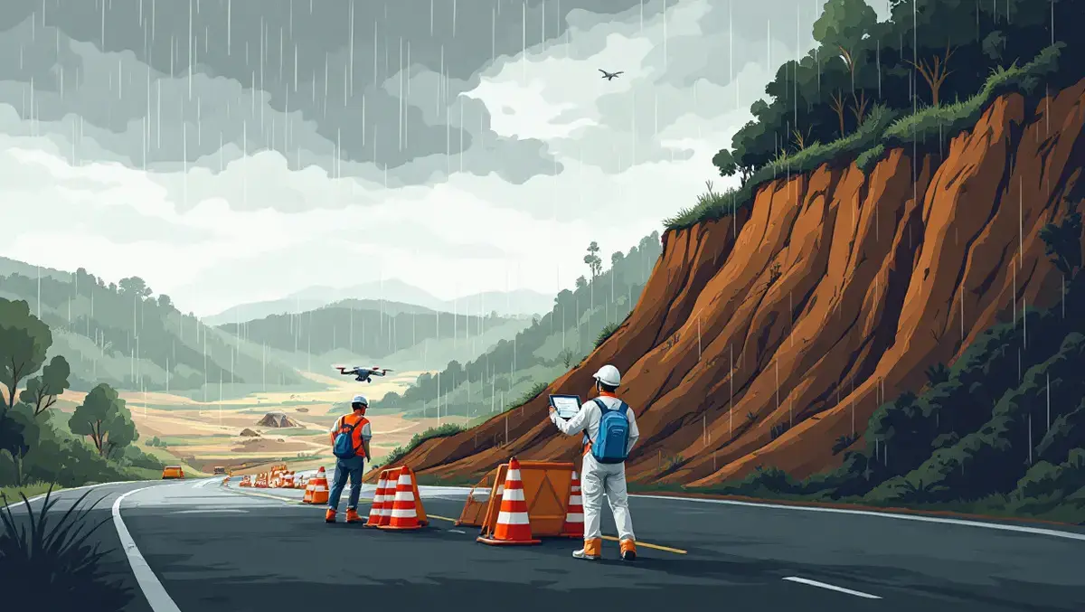
Civil Geotechnical Consultants has urged Australian road authorities to adopt high-precision aerial assessments for slope hazards, warning that roadside inspections can miss landslide and rockfall risks.
The warning comes as heavier rainfall and other extreme weather increase the likelihood of slope failures on roads, based on data from Geoscience Australia, the Bureau of Meteorology and CSIRO. The consultancy argues that many authorities still rely on methods that have changed little in more than 15 years, with engineers inspecting slopes from road level and working from photographs and sketches.
That approach can leave the upper sections of cuttings and rock faces out of view, making it harder to judge whether loose material, unstable rock or erosion pose a threat to motorists and nearby communities. The issue is particularly acute on high-risk corridors in steep terrain and high-rainfall areas.
Australia has already seen the financial toll of severe weather rise. Insurers recorded AUD $2.19 billion in claims from declared extreme weather events in 2023-24, while Australia ranks second globally for weather-related losses per person, according to figures from the Insurance Council of Australia cited by the consultancy.
Assessment methods
Ian Thompson, Director and Geotechnical Engineer at Civil Geotechnical Consultants, said the limits of ground-based inspections can leave critical hazards unidentified.
"When you assess a slope from the road, you often can't physically see the top of it, so you're making educated guesses about what's up there. If you don't find a hazard, you never understand the risk. If you find it but get it wrong, you're either underestimating the risk or spending public money on a risk that may not exist," Thompson said.
Part of RSK, Civil Geotechnical Consultants has been developing drone-based three-dimensional slope modelling in Australia since 2019. According to the firm, the method allows engineers to survey a high-risk site in less than two hours, produce a model measured to the centimetre and establish a baseline for tracking changes over time.
The same process can be used after cyclones and storms, when road owners need to determine whether routes can reopen safely within the timeframes required for disaster recovery funding. Aerial assessment can also support decisions on exclusion zones, fencing and warning signs after debris falls.
Weather pressure
Research cited by the consultancy points to a growing hazard. Geoscience Australia identifies the saturation of slope material from rainfall or seepage as a natural trigger for landslides, while the Bureau of Meteorology and CSIRO have reported that the intensity of short-duration extreme rainfall has risen by at least 10 per cent in some parts of the country in recent decades, with the largest increases in the north.
Those patterns matter for transport networks because road cuttings, embankments and adjacent slopes are vulnerable to rapid changes in water content. Repeated storms can weaken material over time, while intense downpours can trigger sudden movement that blocks roads and isolates communities.
Thompson said drone surveys have improved both the speed and the level of detail available to engineers.
"We can fly a site in an hour or two and build a three-dimensional model with high precision," Thompson said.
"That kind of detailed rock-face mapping used to take three days with a geologist and a compass. Drone technology delivers much better information for governments and road owners to base safety decisions on.
"At CGC, we're seeing more extreme weather events, and we're seeing them more often. Each year brings more disaster-related events, which means more slope failures, more risk and more assessments - and those events are reaching further south and further inland than they used to," Thompson said.
Aerial mapping is not intended to replace existing geotechnical inspection methods but to strengthen them on the corridors most exposed to failure. The technology is also used to measure earthworks volumes, monitor slope movement after heavy rain, inspect cuttings and embankments, and review sites close to buildings and structures such as bridges.
Thompson said the areas facing the greatest exposure are often those with difficult terrain and lower levels of infrastructure spending.
"The highest-risk places are the ones you would expect: steep, uneven, high rainfall and not a lot of infrastructure investment," Thompson said.